Advances in surveillance technologies have made flying safer for us all.
Key Takeaways:
Aviation has experienced rapid technological evolution, from early radio communications to sophisticated modern systems, dramatically enhancing pilot capabilities and operational safety.
Key innovations in navigation like the Instrument Landing System (ILS), Global Positioning System (GPS), and moving map displays have provided unprecedented precision and situational awareness, minimizing navigational errors.
Significant advancements in weather intelligence, autopilots, active noise-canceling headsets, and traffic avoidance systems have collectively improved flight safety, reduced pilot workload, and mitigated risks like mid-air collisions and controlled flight into terrain.
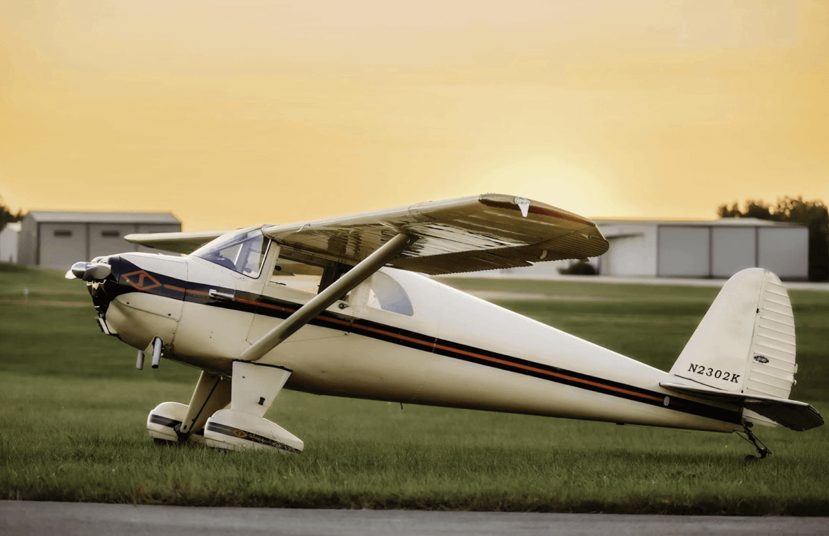
Modern pilots don’t get how lucky they have it. Even those aviators who have been flying since before most of us were born were raised on technologies unavailable and often unimaginable to their predecessors. It’s the nature of progress, sure, but it’s easy to forget how far we’ve come in aviation and how fast.
Here’s a short list of eight of the most important aviation technologies in the history of flying, and you might be surprised how early some of them were introduced.
Radio Communications
There is no shortage of miracle technologies we pilots take for granted. I’d argue that near the top of the list should be in-flight radio communications. Most pilots think that radios have been around forever, and they’re not far from being right about that. You won’t find any photos of Orville sending reports to Wilbur from the Wright Flyer; it was just over a decade that the first successful air-to-ground radio call was made, when, in 1915, Captain J.M. Furnival picked up a transmission from the ground sent by a Major Prince (first name unknown), who radioed the message, “If you can hear me now, it will be the first time speech has ever been communicated to an aeroplane in flight.” It’s a little meta for our tastes—we prefer “Watson, come here, I need you.” But it was a start.
By the early 1930s, radios, which, like a few other aviation technologies, seemed to mature in lockstep with aviation’s progress, were small, light and reliable enough to have even in small planes. And around that time, the International Commission for Aerial Navigation had formed, in part to avoid a Babel-like world of communications, putting forth the first standards for aerial radio communications.
Where this technology led is familiar to nearly every pilot. Today, we can communicate air-to-ground, ground-to-air and air-to-air with ease, usually with excellent voice fidelity even from great distances. The benefits of this technology are too numerous and obvious for us to list here but, suffice it to say, it’s hard to image a modern world of aviation without pilots and controllers playing together.
The instrument landing system is a presumptuous, even boastful name. Even when it was introduced, it was hardly the first or the only system for helping an airplane find the airport in conditions of low visibility through the use of instruments. But just as no one complained when Muhammad Ali called himself “The Greatest,” because he so clearly was, the same was true for ILS. Whereas a VOR approach could get you within shouting distance of the final approach fix (with the help of a stopwatch, a guess at the winds and, if you were lucky, an intersecting radial), an ILS provided the whole shebang, with lateral and vertical guidance, and it did it with such precision that most ILSes got you down to 200 feet AGL. True, it required a lot of infrastructure, but it created a high-precision landing system at a time when the technologies that air navigation architects could leverage were rudimentary. They were essentially nav radio signals arrayed vertically (the glideslope) and laterally (the localizer component) with an instrument in the airplane to keep track of each. While flying an ILS takes practice and requires skills that don’t come naturally to many pilots—staying on the glideslope is as much an art as a science—it’s a self-contained system that makes the VOR approach look positively primitive.
Sure, precision RNAV approaches are better in a few important ways, but ILS was the undisputed champ of instrument flying for more than 50 years. And with it in wide use still, even for automatic landings, few expect it to go away any time soon.
GPS
The development by the United States Department of Defense of the Global Positioning System (GPS) was a watershed in area navigation, though it wasn’t the first such system. Before civil-use GPS came along in the late 1980s, there were already a few area navigation systems, though few ever made their way into the flight decks of small planes.
There are area navigation systems that calculate position based on the relative positions of radio navaids and DME—they were extremely accurate. Bendix-King’s KNS-80 navigation receiver was a modestly popular product and can still be found in the panel of some small planes, though, in our experience, they are seldom put to use.
There are also inertial systems that use sophisticated (and enormously expensive) combinations of gyroscopes and/or lasers or solid-state gyros along with magnetometers and other aids to calculate position based on rates of rotation. The science behind these various systems is complex, but their operation is fairly simple. And like sophisticated area nav units, inertial systems are very accurate. Moreover, they don’t rely on navaids or satellites to work. They are entirely self-contained. Not surprisingly, these kinds of systems were widely adopted by large commercial, military and private users.
Another system, Loran, developed during World War II, used very low-frequency radio waves bounced off the atmosphere. In its initial iteration, Loran was accurate to 100 meters or so, but in its later form, Loran-C, which came to the fore in the 1970s, it was accurate to tens of meters or better. And because the revolution in electronics enabled far cheaper, smaller and lighter receivers, Loran looked like the wave of the future. Instead, it was shut down around 25 years after it began to gain popularity with pilots of light planes.
Communication technology and internet worldwide for business. Global world network connected and telecommunication on earth cryptocurrency, blockchain and IoT. Elements of this image furnished by NASA
The reason? The DoD’s Global Positioning System. GPS makes use of a known constellation of satellites to determine very precise points of location on the earth and in the atmosphere. As its name says, it really is a global system, too. When paired with a database, a GPS receiver can provide extremely accurate guidance from point to point. And when aided by additional ground and space-based systems to enhance accuracy, GPS receivers can provide pinpoint location capability, allowing approach courses with none of the angular uncertainty or radio infidelity that even ILS systems are liable to suffer.
While ubiquitous, GPS has its weaknesses. Because its signal is very low power, it can be jammed quite easily, and because it relies on satellites and associated systems, it is staggeringly expensive to field and maintain. But the impact it has had on aviation is unparalleled. And that impact pales in comparison to the beneficial impact it has had on our lives in thousands of other areas of life.
Moving Map Navigation
The idea of an electronic moving map that knows our precise position in the air and can keep track of and display an ever-changing picture of the world below is a fantasy that every pilot who ever struggled with folding paper charts entertained often. And when a few enabling technologies—GPS, low-cost displays and high-powered small processors—came along, the moving map was born. The moving map revolution, which is sometimes erroneously dismissed as an accessory to aviation, has been foundational to the advancement of situational awareness and the elimination of one of the deadliest types of crashes, controlled flight into terrain (CFIT), where an aircraft is flown by its crew into the ground by mistake. CFIT crashes are almost always catastrophic. With moving map, you get automatic situational awareness in four dimensions (time being the fourth), graphical and dynamic mapping of weather systems, airway and airport data, and so much more. Those who grew up with moving map applications are sometimes derided as “children of the magenta,” a phrase that refers to the magenta-colored course line on moving maps. I’d argue that proponents of moving maps’ benefits are merely taking advantage of far superior technologies to keep themselves and their passengers safe from situational awareness errors that were commonplace before moving maps came along.
There is no shortage of things for pilots to be concerned about, and at or near the top of the list are a handful of serious weather phenomena. There’s inflight icing, fog, high winds, turbulence, mountain wave and garden-variety cloud obstruction, to name most of the biggies. But by far, the most hazardous weather phenomenon is convective activity, which most often manifests itself as thunderstorms, which can grow in size to otherworldly proportions and pack a punch so big it can take a small or not-so-small airplane apart.
The development of weather-gathering technologies has progressed steadily since before the advent of powered flight, but without much debate, the most significant has been the development of next-generation weather radar, which in the United States is known as NexRad. Introduced in 1988, NexRad is a powerful doppler radar that can sensitively detect storm shape, intensity, movement, convective activity and precipitation. The network of 160 radar sites in the United States provides a coast-to-coast system of weather surveillance. It is one of the crown jewels of U.S. technological achievement, providing life-saving early warnings of severe thunderstorms, tornados and hurricanes. The continued improvement of forecasting technologies and intelligence have provided aviation with tools today that were unimaginable 50 years ago, intelligence that saves billions of dollars and untold lives every year.
On top of that, aviation has enjoyed a revolution in in-cockpit weather information availability, with services like ADS-B’s TIS-B weather services and Sirius-XM’s up-to-the-minute weather information for pilots of everything from PA-28s to bizjets, allowing pilots to make solid mission-planning decisions based on real intelligence and not guesswork based on hours-old reports.
Autopilots
To many pilots, an autopilot is a dumb mechanical aid, something you can use to take a look at the chart without going off course or busting altitude. And they are that. But today’s digital autopilots are so much more, too.
Autopilots work on one common principle. The system uses navigation, heading and attitude inputs to activate servos to keep the plane going where the pilot has programmed it to go. In its simplest form, an autopilot keeps the wings level while ignoring all other parameters—this is more helpful than one might imagine; the loss-of-control chain in instrument conditions is typically begun by an uncommanded, steep bank, causing the plane to enter a spiral dive, building airspeed and making a recovery, especially when the plane is still in IMC, a dicey proposition.
Autopilots have inspired aviation dreamers to imagine what it might be able to do. Could it keep the plane on altitude, too? Tie it into the baro system, and of course it could. Could it follow a pre-programmed nav course? Yup. Just couple it to the nav receiver. Could it fly an approach? Ditto. Yup, that too. Keep the tail from wagging. Even that.
From there, engineers have gone to fantastic places. Today’s autopilots can work in the background, providing protection from surprise deviations in pitch, bank angle and airspeed, keeping the plane from getting either too slow or too fast. And several models today feature a single button the pilot can push to return the plane to straight and level flight in case of accidental loss of control (upset).
Autopilots have gone from being an expensive luxury to an indispensable tool for helping pilots keep the plane under control and assisting in flying very precise approaches, as well.
The inclusion of headsets in a list of critical aviation technologies might seem off target, but it is not. Especially in small planes, which are almost universally too loud for our hearing health, a good noise-canceling headset is a critical pilot tool.
Headsets have been around for a long time, and early models were heavy, clunky and not particularly effective. But they were better than nothing. A lot better. And because they early on incorporated earcup speakers and boom-mounted microphones, they helped ease communications difficulties, something pilots who never flew in the pre-headset days, when staticky ceiling-mounted speakers and handheld mics caused communications havoc on nearly every flight, are blissfully unaware of.
New models, of course, feature electronic noise-canceling features, which work by sampling the exterior noise and creating an out-of-phase counterpart to it, effectively electronically canceling the exterior noise, at least a large part of it.
Today, pilots take not good but excellent noise-canceling headsets for granted, but we all know the difference between the noise levels before we put them on and then after, when we don them and hit that switch to activate the sweet quiet that ingeniously designed electronics can bring.
It’s rare for planes to run into each other in the vast skies above, but when they do, it’s almost always catastrophic. And it often inspires regulatory change. It was the 1956 collision between a Douglas DC-7 and a Lockheed Constellation over the Grand Canyon, killing all 128 aboard the two planes, that launched the creation of a nationwide radar network and the Federal Aviation Administration. In subsequent years, mid-air collisions in the skies above Cerritos and San Diego, California, drove additional layers of regulation, including mandatory equipment installation for planes that fly in busy airspace.
For most of these advancements, larger military and commercial aircraft were the first to get robust anti-collision technologies. But in this case, the adoption by the FAA of mandatory transponder equipage went from the bottom to the top of the aviation food chain. The Mode C transponders sent regular, individually identifiable signals to help controllers keep track of where planes were, so they could issue heading clearances to keep the potentially conflicting traffic targets from merging in the worst way.
Later, the FAA mandated collision avoidance systems, TCAS and TCAS II, for airliners and other large planes, the latter taking emergency, last-ditch collision avoidance out of the hands of the controllers and issuing direct clearances to the two planes involved to keep them from colliding. In recent years, even smaller planes got collision-avoidance gear, including the early TCAD system from Ryan and, later, more capable active traffic systems from companies like Avidyne and Garmin.
Finally, the introduction of mandatory ADS-B in 2020 gave controllers and pilots new tools to individually identify and route traffic to keep potential conflict to a minimum while using satellite tracking to provide extremely accurate, up-to-the-second position information, including altitude, to all involved.
A commercial pilot, Isabel Goyer has been flying for more than 40 years, with hundreds of different aircraft in her logbook and thousands of hours. An award-winning aviation writer, photographer and editor, Ms. Goyer led teams at Sport Pilot, Air Progress and Flying before coming to Plane & Pilot in 2015.
Subscribe to Our Newsletter
Get the latest Plane & Pilot Magazine stories delivered directly to your inbox