
Is There Shear Up There?
Explore the world of wind shear in Terminal Aerodrome Forecasts (TAF) and how it impacts light aircraft
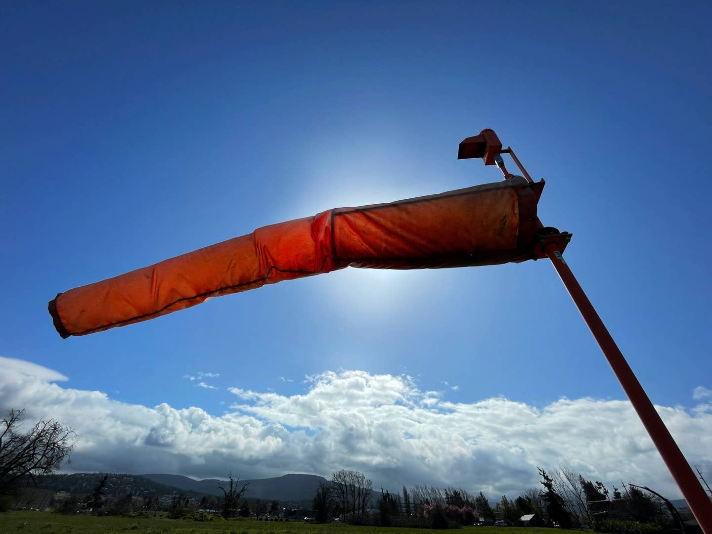
We need to pay attention to the TAF wind-shear notation because it means changes are afoot. [image Unsplash/Jan Canty]
“I saw a reference to wind shear in the destination airport's TAF. Should I cancel the flight?”
The pilot asking was experienced enough to plan a trip thoroughly but was still learning with every new encounter. Because he wasn't sure of the significance of “WS020/32020KT” in the Terminal Aerodrome Forecast, he wanted me to give him an up-or-down judgment about going.
Ordinarily, I avoid playing dispatcher when I haven't been “plugged in” to the weather situation. But I did know a front was moving in, and the time of day was conducive to temperature inversion. Those two factors logically gave rise to the likelihood of low-level wind shear, so I spoke to that effect on his trip. He opted not to go out of an abundance of caution.
For light aircraft, a wind shear note in a TAF is not necessarily a hazardous warning, but a flag that means something is out there, requiring us to be ready to deal with it. It shouldn't be confused with wind shear alerts generated by LLWAS systems at major airports, which indicate serious, real-time threats. Airliners are maxed out on spare performance capability when taking off and landing, so a loss of airspeed due to a wind shear encounter can be life-threatening.
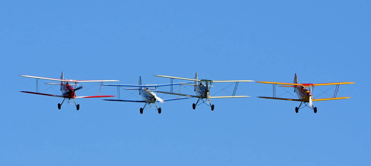
Piston-engine airplanes flying through changing wind conditions can cope with turbulence and airspeed fluctuations using throttle jockeying and pitch-attitude adjustments. That's why we fly our approaches at 1.3 VS0 as a speed reference, with half the reported gust spread tacked on for safety, and we'll lift off and climb out faster in rough air.
So, what's the issue with those “WS” forecasts? They are telling us there's a possibility of a change into the noted wind direction and speed at or below the height shown--2000 feet AGL in the opening paragraph. It can be from a frontal passage when the surface wind shifts and the low-level atmosphere gets stirred up by the change. You may take off to the south, then suddenly find yourself battling a northerly wind as you climb out on course. Hopefully, you've considered this wind change in your fuel planning.
Any turbulence encountered in the wind shear will generally be short-lived unless your flight profile calls for staying low or there's perpendicular-oriented terrain upstream. As you climb out, your GPS track will notably shift, requiring a heading change, but the ride will smooth up. In the absence of hills, the rough air comes from the point at which two layers of air are moving in different directions, giving us some piloting to do as we climb or descend through the friction level.
We used to hear of “low-level jet streams” encountered on clear, cool nights with calm air at the surface. We would find them during climbout, the airplane suddenly bucking and bouncing and then calming down as altitude increased, but with the ground lights moving sideways. I've seen 40 knots of wind at 3000 feet AGL, as the cold surface air layer provided a slick cushion for the flow of warm air aloft moving across it. Once up into the inversion, there would be no turbulence, just a massive heading correction.
Therefore, we need to pay attention to the TAF wind-shear notation because it means changes are afoot, but in the absence of other indications, it's not a reason to scrub a trip. Just be prepared.

Subscribe to Our Newsletter
Get the latest Plane & Pilot Magazine stories delivered directly to your inbox