Coast-To-Coast Javelin
You don’t need to travel overseas to see some of the world’s best flying venues
 |
Pressurization is something like power windows. Once you've lived with it for a while, you wonder how you ever got along without it.
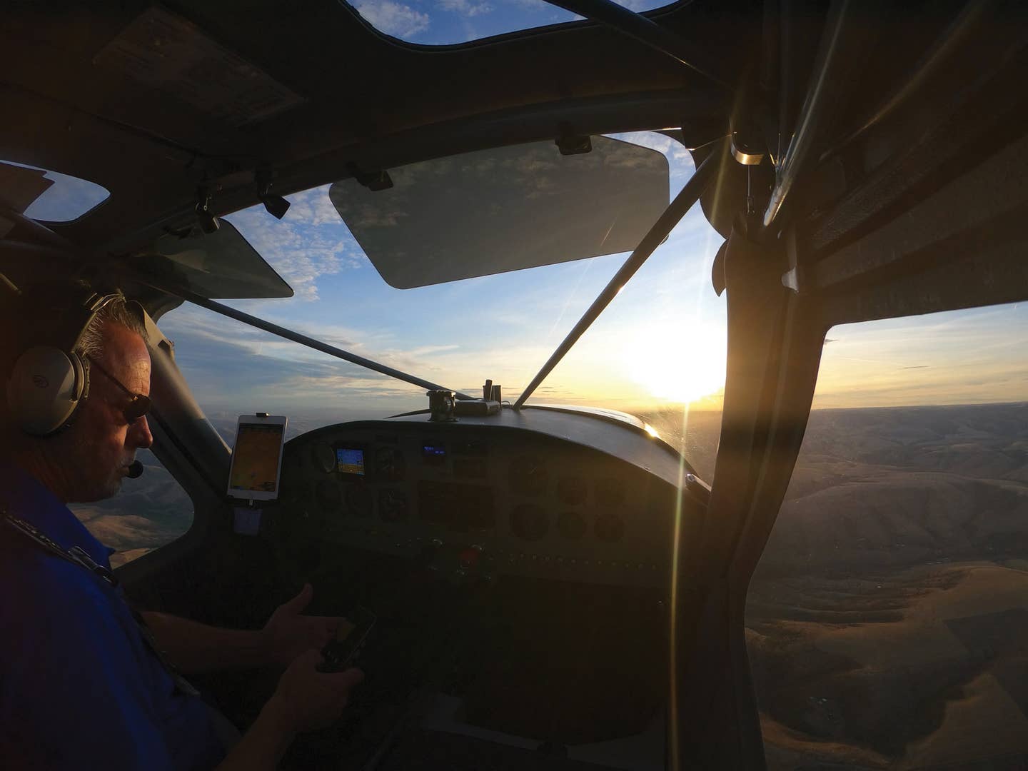
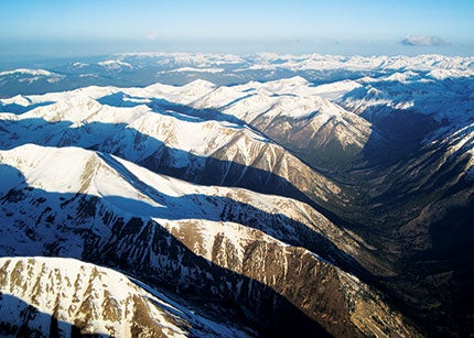
Watching down at the spires of the Rockies from 15,500 feet, breathing comfortably in a 7,000-foot cabin, I can't help but marvel at how deceptively easy it is to climb the tallest mountains and span a continent.
Or hard, depending upon your point of view. Airplanes disguise their sophistication and complexity with pretty pictures, bright numbers and soft leather. The Cessna Javelin conversion I'm flying, for example, is ticking off a mile every 18 seconds, reaching for the East Coast in another nine hours.
What? You've never heard of the Javelin conversion? Don't feel left out. Most other pilots haven't, either.
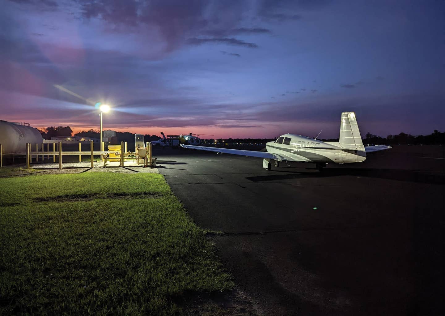
The Javelin probably seemed a good idea at the time. The original Cessna P-Centurion was a spacious, stable-enough cross-country machine, but it was always a little short on climb and never an especially quick airplane in cruise, especially in contrast to the Piper Malibu. The problem was, quite simply (or not so much), lack of horsepower. Both shortcomings were adequately addressed on the 1985 P210R, but by that time, it was too late. Cessna shut down all piston production after only two years of building the improved P-Centurion.
The Javelin conversion replaced the P210N's stock, 310 hp Continental with a 350 hp Lycoming TIO-540 engine, basically a Navajo Chieftain mill, intended to improve the Cessna's vertical and horizontal speed. Horsepower was translated to thrust via a four-blade, Q-tip prop, a dead giveaway that this wasn't your grandfather's typical, run-of-the-mill P210. Fuel burn at max cruise was about 24 gph in exchange for an extra 15 knots cruise, hardly a fair trade, but hey, avgas in 1980 was only $2/gallon. All of 11 conversions were built.
Still, as I watch the dynamic, ragged edge of high Colorado fade into the mundane Great Plains, the country Americans are lucky to call home is a never-ending photo album.
A little over three hours ago, when I departed Long Beach, I tracked northeast over Palm Springs, drifted south of the Marine base at 29 Palms and crossed the Colorado River at Lake Havasu. California's low desert gets mixed reviews from some people, but it's most often a land of expansive horizons, with unlimited visibility and just enough mountains to provide perspective. Fortunately, I crossed the desert high enough to avoid the 108-degree heat at ground level.
On the Arizona side of the Colorado, the terrain climbs steeply toward the high plateau north of Flagstaff. I slowly transitioned past San Antonio Peak and began to merge with the Grand Canyon. No matter how many times I traverse "the Canyon" (this was the 37th or the 77th or!), America's largest gopher hole is always impressive. Back in the '60s, ink barely dry on my private license, I made my first cross-country flight in my newly purchased Globe Swift to see America's Great Rift Valley. The Canyon has aged gracefully, as if 40 more years of geologic time could possibly make any difference.
On that initial '60s trip to the area, Lake Powell was still mostly a dream, slowly filling in behind the recently commissioned Glen Canyon Dam. It would take another 13 years for the lake to reach its high-water mark and back up hundreds of miles into Utah. Today, the lake is a dark opal gem in the desert, spreading hundreds of water fingers into what were once the dry canyons of Monument Valley.
I deviate slightly south of my Great Circle route to pass within sight of Telluride, Colo., simply because I can. It's one of the most beautiful little box canyons in the mountains. The floor is at almost 9,000 feet, and the surrounding rocks reach as high as 14,000 feet. IFR not advised. My buddy, writer Peter Lert (A-Lert Flying Service), used to live there, probably because he couldn't ignore the sheer beauty of the place. It's a small town in summer, only about 3,000 people, but winter brings throngs of skiers to Telluride's uncommonly spectacular resorts, tripling or quadrupling the population for a few months.
Past Telluride, there's western-flavored Gunnison, another spectacular destination high in the tall pines of central Colorado. Gunnison guards the eastern approach to Monarch Pass, the high point of Highway 50 that cuts straight across the spine of the Rockies.
On this trip, I look down at the apex of Monarch, 4,000 feet below at only 11,300 feet, remembering all those times I had to coax my normally aspirated Swift or Bellanca Cruisemaster just a little higher so I could clear the tourists at the highway viewpoints on the crest.
Simpler times, and who knows, perhaps better. It was certainly more challenging, probably less sane and predictably more fun.
This ain't bad, however. If I was still 30 and into aerobatics, water flying, gliders, helicopters, jet fighters and anything else I could convince someone to let me fly, I might be less enthusiastic about settling into the Centurion's plush leather seat, lofting to three miles above the sea and letting the autopilot guide me toward my next fuel stop in St. Louis. I still love flying in all its forms, and if this old body could take the stress, I'd love to go back to practicing knife-edge Lomcevaks in a Pitts S2B or spiraling in the ridge lift of Dillingham, Hawaii. But after all, SOMEONE has to drive Javelins across the country to Pennsylvania.
Kansas is a flat, patchwork quilt, not a revelation, I know, but flat means section lines that help define true north. Accordingly, I assume an angle across them as I approach Missouri, wondering if I can maintain a reasonably accurate course despite the wind by simply holding the same angle east of north.
It turns out I can. Sure enough, not long after the VNAV suggests it's time for descent, I can see the confluence of the Mississippi and Missouri Rivers west of St. Louis and the huge, dramatic, half-elliptical St. Louis Arch in the far distance, gateway to the East. (No, I've never even thought about it, but there are a few former pilots who did and got caught.)
The following morning, I'm off the ground with the sun at 6:30 to beat the heat, spinner pointed northeast toward cooler pastures. The Javelin again claws its way to 15,500 feet, this time fighting headwinds, but I'm feeling forgiving, as this is the final leg. Today's destination is Seaman's Airport, 9N3, 30 miles north of Wilkes Barre, Penn., the home of O & N Aircraft, owner of the Javelin STC.
The tan of summer Missouri turns to beige Indiana, then gray-green Ohio and finally to the deep forest hue of Pennsylvania, rolling, emerald hills sprinkled with idyllic lakes and streams, all topped by puffy, baby cumulus. I land at 4+15, a total of 12 hours flying time from one coast almost to the other.
Don't even think about comparing the costs of airline versus Javelin, but it will require nearly the same time, 12 hours, to get home to Long Beach, and it won't be nearly as much fun.
But you probably already knew that. Still crazy after all these years.

Subscribe to Our Newsletter
Get the latest Plane & Pilot Magazine stories delivered directly to your inbox

