Dealing With Convective Weather
Some pilots simply lock their airplanes in the hangar when convective weather is about. Others learn to cope.
 |
Shortly after returning from a recent Grand Caravan delivery from Long Beach, Calif., to Seoul, Korea, I spoke at a LoPresti First Saturday event in Sebastian, Fla. There were about 400 people present, many of them curious about the method and madness of ferry flying. Inevitably, one of the first questions I was asked was how I deal with "hard IFR" and thunderstorms. That's obviously a major concern in Florida, especially in April through October, when tropical thunderstorms and rain are most prevalent.
Not All Bad News
The good news is that convective weather isn't as much of a problem on the Pacific, and it's also rare over the Atlantic. One major factor in regions of thunderstorms, thermal activity, usually is absent over the ocean. Another, orographic lift, isn't possible when there's no terrain to provide the launching platform for the upsloping air. The bad news is that we repeatedly cross the dreaded Intertropical Convergence Zone (ITCZ) that runs 10 degrees north and south of the equator, and we fly over land, too, especially dangerous in places such as Africa and South America.
Whatever form convection takes, however, pilots have no choice but to either deal with it or stay on the ground. It can be a special problem for ferry pilots. After all, if you're halfway out on the 2,160 nm leg to Hawaii and you run into bad weather, you have only two choices: continue to your destination or return to the mainland. Since an abort can be an expensive option, we usually try to continue. (More on that later.)
That doesn't mean we drive on blindly into convective weather. As the crash of an Air France Airbus 330 off Brazil in June 2009 demonstrated, airplanes large and small are equally subject to the violence of thunderstorms. Satellite observations of the ocean adjacent to Air France 447 at the time of the accident suggest the airplane flew through an area of extreme convective activity.
Options For The Little Guys
Fortunately, in general aviation, we have a few choices not readily available to the heavy iron. If the weather isn't too tall, we may be able to climb above it. While that may work if we're light enough to make the climb, if we have a turbocharger out front and if we have oxygen on board, it may compromise range because of less favorable winds at high altitude. If we can see the weather coming from a good distance away, the more viable option may be to attempt a deviation as early as possible.
Given the choice, we'll sidestep to the right first, the sooner the better to shorten the off-course distance. Thunderstorms and other snockly weather are low-pressure zones with counterclockwise rotation (in the Northern Hemisphere), so we try to fly to the right to take advantage of potential tailwinds.
Descend---The Final Option
If that doesn't work and flying left looks equally dicey, we have only two options remaining: turn back or descend. Practical considerations (read "money") nearly always influence our decisions. I once had to turn around in a Cessna 421 five hours out over the Pacific en route to Hawaii because of weather. It was a tough choice, made tougher because I was on a fixed-price contract and any additional expense would be mine to eat. I did it anyway. The total cost of the abort (fuel, parking, hotel, meals, car, etc.) came to about $2,000.
Accordingly, I've made dramatic descents several times over the Pacific to avoid penetrating CB activity. A descent is a fairly simple solution as long as you don't mind burning ridiculous amounts of fuel in turbines and flying for what may be hours at a few hundred or a thousand feet above half an ocean. You know there's nothing to hit on the way down, the wind and turbulence often will dissipate as altitude decreases and you have the confidence of knowing exactly the elevation of the ocean.
Once, on the 2,000 nm leg from Honolulu to Majuro, Marshall Islands, in an A36 Bonanza, I dropped from 14,000 feet to 100 feet above the water, and drove the last 700 miles on into Majuro at that height. The turbulence abated as I dropped lower and was easily tolerable at the reduced altitude.
Forecasting Is A Precise Science
The good news is that weather forecasting and real-time product uploads have become so accurate, we rarely encounter anything we don't know about well in advance. My buddy Jeff Kopps of the National Weather Service in Monterey, Calif., usually can pinpoint areas of cumulus buildup and possible CB activity over the Pacific, and he's almost never wrong. If we know there's nastiness waiting for us on the ocean, we usually don't leave in the first place. It's the oldest advice in aviation, carried to the ultimate extreme on a long leg: "When in doubt, don't."
Another benefit some pilots have today is reasonably accurate weather-depiction avionics such as Stormscope, Strike Finder and radar. The state of the art in graphic weather presentation is exponentially better than it was even a decade ago. XM weather can allow a real-time display of the atmospherics ahead, easily as accurate as onboard detection devices.
The Long View
Regardless of what electronic help I have on the panel, I'll often ask Jeff Kopps to look two to four days ahead and temper my go/no-go decision based on his long-range forecast. If I'm headed for Indonesia, Japan or the Philippines through Honolulu, Majuro and Guam, and there's a typhoon threatening the Western Pacific, even though it's still 5,000 miles away, I may delay the entire trip for a while. I've waited in Honolulu as long as an extra five days for the ITCZ that borders the equator to calm down. (Hey, it's a tough job, but!)
The Weight Consideration
Of course, at the weights we fly, we have an extra incentive not to penetrate major weather systems. Our airplanes typically are loaded 15% to 25% over gross with fuel, and that reduces the allowable G-tolerance considerably. On my recent Caravan trip to Korea, for example, I was operating with 430 gallons of ferry fuel on board at a max takeoff weight of 10,915 pounds, compared to the Grand Caravan's normal max gross of 8,750 pounds. That means I was flying the airplane 2,165 pounds over gross (on a ferry permit), roughly 25% above the normal limit.
The math doesn't demand a physicist. Normal category allows a max load of 3.8 times the approved gross weight of 8,750 pounds, a total load of 33,250 pounds (3.8 x 8,750 pounds). Operating at 10,915 pounds, my max G-load is therefore reduced to 3 G's (33,250/10,915). While it's unlikely I'd ever see that kind of stress in convective weather, I avoid turbulence whenever possible.
"What To Do If!"
The inevitable question arises, "What do you do if you can't land and you have to continue in violent weather?" The answer is to slow the airplane to 10 to 15 knots below maneuvering speed (the published Va usually is not the optimum turbulence penetration speed) when flying in moderate turbulence. For most GA airplanes, Va is a calculated value that applies only to operation at gross weight, and unless you depart well over maximum weight, you're not likely to be flying at gross. Va decreases with any reduction in weight.
According to Barry Schiff in his excellent book The Proficient Pilot II, one simple rule for guessing a more realistic Va is to subtract two knots for every hundred pounds under gross. If you're flying 400 pounds below gross, for instance, you should use a Va that's eight knots slower than the book number.
When turbulence passes the moderate level, another technique is to try to maintain constant power and constant wings-level attitude, but not a constant altitude. If you're filed IFR, you'll need to advise ATC that you're unable to maintain altitude (assuming there are any other idiots penetrating the same horrible weather), though you may find the vertical winds will cancel one another, and you'll wind up hovering somewhere near your original height. We've all heard stories of spectacular up and down drafts inside cumulus clouds, but the reality usually is far less dramatic.
If you're over mountains or other high terrain, you may have no choice but to fight the downdrafts and hold altitude as best you can. Just remember that if you're jockeying throttle and yoke in an attempt to maintain a precise altitude, you may be subjecting the airplane to considerably more stress than if you were simply riding out the turbulence.
Handling Downdrafts
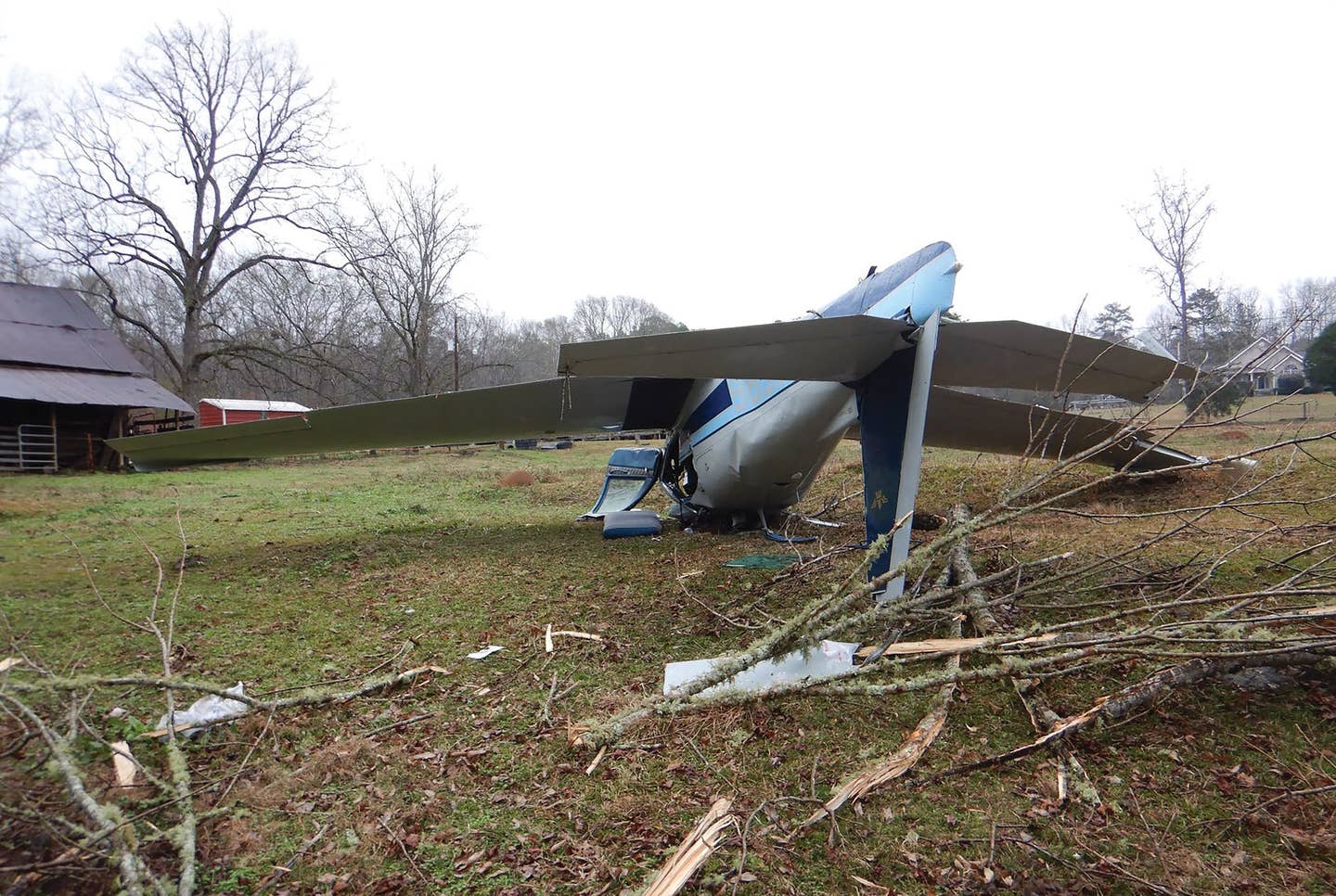
But let's say you're flying in turbulence and you get caught in a downdraft that seems determined to take you to the ground. This may have been what brought down the late Steve Fossett in California's Sierra Nevada mountains back in September 2007. Fossett was flying a friend's Super Decathlon and crashed in an area of known convective activity.
We'll probably never know exactly what brought down Steve Fossett, but if it was a strong downdraft, there's a technique that may save your life, provided you have the nerve to use it. Everyone knows if you're flying in strong downdrafts, the standard technique is to pitch to Vy and apply full power. Right?
Not necessarily. Sailplane pilots (who don't have the privilege of power) are taught something that seems almost counterintuitive to aviators of powered machines. The best course of action may be to lower the nose to a cruise attitude, and fly through the downdraft as quickly as possible. This isn't as suicidal as it sounds, provided you have the altitude to make it work. Increased forward speed has the effect of actually reducing the angle of descent. Similarly, the faster you fly through the downdraft, the quicker you'll reach the updraft that's probably waiting on the other side.
!And Updrafts
Conversely, if you're caught in a strong updraft, resist the temptation to lower the nose and maintain altitude. You'll add airspeed in a hurry, often pushing the airplane close to its Vne in a few seconds. Ride with the updraft and reduce power to help control altitude. Updrafts can be nearly as dangerous as downdrafts in that even idle power may not stop the climb. In California's Owens Valley near Bishop back in the last century, I was once forced to ride a Globe Swift to 17,000 feet before the updraft finally released me. Had the elevator ride continued, I would have been in trouble, as I had no supplemental oxygen on board.
No one in their right (or left) mind flies through the center of a thunderstorm, but simple cumulus clouds may be manageable. If you're willing to make some accommodations, you can learn to live with convective weather.
CONVECTIVE WEATHER: AVOIDANCE PRODUCTS |
| These days, there are a number of products that can provide an excellent picture of the weather ahead. Here are thumbnail sketches of a few:
Insight Strike Finder WSI Bendix/King Radar |
Subscribe to Our Newsletter
Get the latest Plane & Pilot Magazine stories delivered directly to your inbox

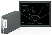 L-3 Stormscope
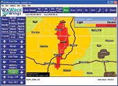 XM WX Satellite Weather
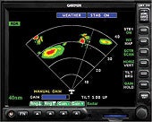 Garmin Radar