
Planning A Long Cross-Country
As the old chestnut proclaims: prior planning prevents poor performance
 |
As pilots, we're used to planning flights, and we know preparing for all eventualities helps ensure safer and less stressful flights. Often, trip planning is straightforward, but occasionally, trips involve traversing congested or complicated airspace, and sometimes they're long, multi-leg flights.
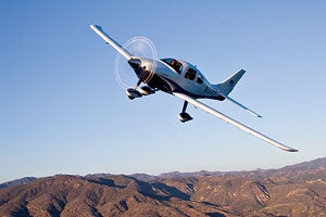
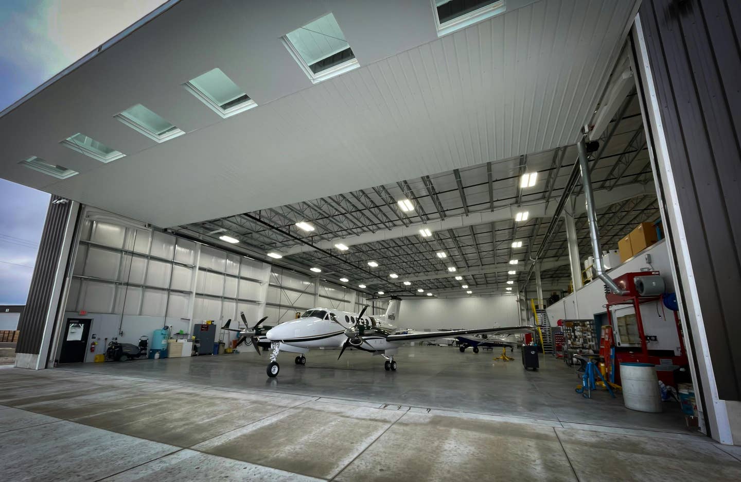
You might think that the longer flights take nothing more than normal flight planning and only involve sitting longer while en route, perhaps with a refueling stop or two. But there's much more to it than that, especially when the total trip distance is more than the range of your aircraft. I recently completed a 1,600-mile flight in my G1000-equipped Columbia across seven states, crossing three time zones, and then the return flight.
Is George Healthy?
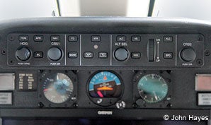
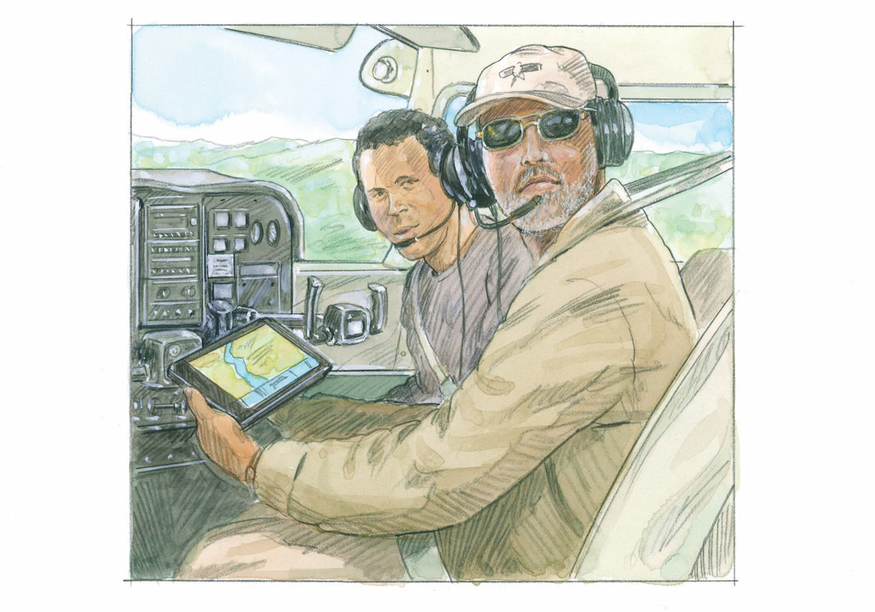
Let's begin with a simple premise. We all know that single-pilot operations, especially if IFR, can be some of the toughest flying, and a working autopilot is a beneficial component for a safe long-distance flight. When you're contemplating many hours of flight, any of which might be IMC, having your favorite electronic copilot onboard and performing at 100% can be crucial to a comfortable and safe flight. In fact, Part 135 operations can require an operational autopilot for single pilot operations. Similarly, the concept of being prepared would encourage ensuring that any panel-mounted or portable navigators have data current for the entire duration of the trip.
Planning IsThe Key
The first step is basic planning: the route, intermediate refueling and overnight stops, and alternate airports in case you need a Plan B. Depending upon the weather, you might even consider fully preplanning Route B.
One concept that isn't always taken into account is that flying slower may sometimes mean an overall trip that's not as long and is less expensive. Most new aircraft's POHs provide a range of power-setting options, so it's possible to choose one that minimizes the number of stops.
 |
Take my Columbia, for example. Operating lean of peak at 82% of rated power means that at 16,000 feet, I'll cruise at a TAS of 209 knots at 18 gph. By reducing power to 51%, the cruise speed slows to 174 knots, the fuel consumption is reduced to 12 gph, and the range increases from 803 miles to 1,143 miles. That's an increase of 340 miles. Comparing the power settings for a 2,000-mile trip, the lower power setting would take about an hour longer flight time, but it would require only one stop rather than two. Because of the additional time it takes to descend, refuel and return to altitude, the slower flight could take substantially less total time.
Don't forget to take the winds into account. Consider flying at lower power settings with a tailwind because you can decrease the flight time and/or the fuel consumed, and the reverse with a headwind. Also, if you visually review the winds over a large area, like all of the Western states for example, you might find that choosing a routing to the north of a high or low might provide more favorable winds than simply choosing the shortest distance between your departure and destination.
When picking intermediate airports to refuel, you can use one of the airport information websites (like www.airnav.com or apps like ForeFlight) to find the best fuel prices. Often, smaller airports will have better fuel prices than larger airports. I've seen almost a $3 difference in 100LL at airports located fairly close together, so if you want to be fiscally responsible, plan ahead.
One trick to remember when picking a refueling stop is to choose one that's located at a higher elevation if possible. That means you'll spend less time descending and correspondingly less time and fuel climbing back to altitude for the next leg. Do keep the airport's density altitude and runway length in mind, particularly if your aircraft will be operating near the edge of its performance envelope.
If you fly in the Western U.S. or in mountainous terrain, pay particular attention to MEAs. Sometimes, you can find more than one airway that goes to the same place. One airway may have a much higher MEA than the other, while the airway with the lower MEA is often the longer routing. That lower routing might keep your aircraft out of icing or turbulence or at altitudes that your engine, not to mention passengers, will find more comfortable. Pick the airway that's appropriate for the weather, the aircraft and your passengers.
Speaking of passengers, keep their comfort in mind. Even if it's possible to fly nonstop, it might be easier on your passengers if the trip was broken into multiple legs. On a recent trip, my first leg was 4.5 hours followed by a five-hour leg. For the return trip into the expected headwind, I added an additional stop, and the legs ended up being 3.6, 3.3, and 3.3 hours. The shorter legs made for much happier passengers.
If your trip requires an overnight stop, it behooves you to make a hotel reservation before departing rather than trying to find lodging after arriving. Once again, you can use AirNav or an app like ForeFlight to review local accommodations. You might even call the destination's FBO and ask for recommendations. If you have to divert for, say, weather, the local FBO can usually recommend local accommodations and will sometimes provide an airport car or transportation.
Weather Or Not?
You'll be watching The Weather Channel and/or your other preferred weather services as the departure day gets closer. The day before, you'll want to get an "outlook" briefing for the full trip. You can accomplish that through a briefer or through one of the Internet weather-briefing options. The easiest way to get a full-route briefing is to ask for an outlook briefing for a combination of all the legs---essentially, you'll request weather for a nonstop flight. Combine the routes, airways and waypoints for all of the legs, total the flight and ground times for the full trip to indicate the total en route time and get a full briefing. Then, check for forecast weather at your planned refueling stops. It's a good day-before overview, and it saves you from having to do individual briefings for each leg.
Consider getting an overall briefing, filing all flight plans the night before and then getting a weather briefing at each stop or the next leg. If you need to change any of your flight plans (e.g. a departure has been delayed) and you filed through one of the services such as DUATS, your flight plan won't be available for modification by an FSS or ATC until the provider sends it to Center's computer. Filing all flight plans through an FSS might provide greater flexibility for multi-stop trips.
If you plan to pass through multiple time zones, determining departure times for each flight plan can be problematic. Going east, you'll lose an hour crossing most time zones, while going west, you'll pick up an hour. Arizona chooses not to honor daylight-saving time, so that can be confusing. Using GMT for all flight plans should resolve most time-related issues.
Be Prepared
You need to be prepared for IFR conditions on any long flight. If you aren't an IFR-rated pilot, then you should constantly be prepared for a diversion. Ensure that you have the appropriate VFR charts. WACs will usually suffice, but you might want a sectional for your refueling stops and destination, and possibly a TAC if your destination is in or near Class B airspace. If you're IFR rated, carry electronic or paper instrument en route and approach charts, even if the weather is forecast to be VFR. It's smart to carry charts for a wider area than you intend to fly. You may find that the weather or even TFRs may force you into a routing that you didn't expect. It can be stressful to be en route to an alternate airport and realize that you don't have charts, especially if an instrument approach may be required. Don't count on finding the charts you need at an en route FBO, either. You should have everything you may need onboard before you start.
If you use a flight-planning app, make certain that you have current data for the entire flight loaded on your portable device by turning off Internet access and verifying the stored data. The typical mistake is to review the maps and approach charts when there's Internet access, only to find out the data isn't actually stored on the device once you're no longer on the Internet.
A strong case can be made that you should carry a survival kit for every flight, but for a long flight, especially across inhospitable terrain, it's really a must. It doesn't have to be expensive, and it doesn't have to be huge, but it should cover at least the basics, like water, first aid and environmental protection (e.g. blankets, suntan lotion, etc.). I carry much more than that on even local flights.
If you're planning a long day of flying, make sure you and your passengers are prepared. Carry sufficient liquids---water would be the preference---and encourage your passengers to drink fairly often to keep hydrated. Eat well before you depart and carry sandwiches or some other convenient healthy food (not sweets), as well. Your body will appreciate it, and you'll be much sharper at the end of the day. You should also carry whatever personal relief products you prefer.
If you're flying over mountainous terrain, you'll often need, or at least benefit from, oxygen, especially if you're planning to spend any time higher than 12,000 feet. Consider your passengers. Some people can get bad or even severe headaches, even at altitudes below 12,000 feet. Supplementary oxygen helps. Breathing oxygen periodically, and especially in preparation for the descent and approach, will make you sharper and less prone to making mistakes. Everyone can benefit from continuous or at least periodic use of oxygen on a long flight.
 |
On The Road Again
Sure, you obtained a weather briefing and you're prepared to begin the flight, but often, the actual weather won't match the forecast. For long-range flights, weather often becomes a tactical problem at some point. Use Flight Watch if you have no other options, but having satellite weather can prove a lifesaver. The variety of weather data available is truly outstanding.
On my recent trip, all of the usual weather sources indicated the Midwest looked pretty risky. The briefer specifically said that an IFR flight might be difficult. I've flown the Western and Midwestern states enough to know that the forecasts don't necessarily paint the full picture. On a recent trip, I was IMC and in rain for protracted periods. When the weather looked iffy, I was able to remain VMC by deviating. From the start of every trip, I use the G1000's weather display to periodically check the weather at my final destination. On another trip, it rained at my destination throughout the entire day. Being aware of the weather was very useful because it encouraged me, while I was dodging thunderstorms, to think long and hard about Plan B. Luckily, as I arrived at my destination eight hours later, the rain had abated to light showers.
Any time you fly long distances, especially in the summer, you can expect convective activity. Many articles have been written on how to deal with thunderstorms, and the new weather displays certainly take some of the worry out of it. The smart pilot's trick is simply to avoid them entirely, and the best way to do that is to remain VMC as much as possible. You'll find that most controllers that operate in areas with convective activity will pretty much honor any request for deviations. If you're going to need to deviate, ask for it early and usually try to fly upwind of the weather. Even though the frequency may be quiet, the controller is often busy on another frequency, so ask early. Asking at the last minute might have you staring at a large dark cumuliform cloud with your options for escape narrowing rapidly. You're pilot in command, so you should use your authority to deviate if necessary. Just make sure you inform ATC.
A Long Way Home
Once you've completed your outbound trip successfully, you only have one more objective: the flight home. All of the flight planning needs to be done in reverse. The good news is that, for the most part, you can usually just reverse the original route. But weather can require different routing, so bring along all of your flight-planning tools.
There's great pleasure in completing a long and potentially difficult trip successfully. Airplanes are made to fly, so look at a map of the country and start planning!
Flight Planning And Weather Applications |
| ForeFlight www.foreflight.com ForeFlight, the popular iPad do-everything flight-planning product,does pretty much everything you want for planning flights---routing, weather, airport information, etc.---and it does it on an iPad. With a data plan, you can do your planning anywhere. Jeppesen AOPA Flight Planning DUATS National Oceanic And Atmospheric Administration (NOAA) National Center for Atmospheric Research (NCAR) Skew T-Chart Wind Map 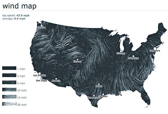 |


Subscribe to Our Newsletter
Get the latest Plane & Pilot Magazine stories delivered directly to your inbox