Top Destinations In California
Seven beautiful reasons to go flying in the Golden State
Choosing my top seven favorite destinations in California was never going to be an easy task, but I gave it a try. I obtained my pilot's certificate in California (at Gillespie Field in San Diego), and I've been back on many occasions since. There are probably few regions of the world that offer such a varied and exciting range of landscapes like California. Spending a total of no more than 90 minutes in the air, I can fly a small sport plane from Half Moon Bay on the Pacific Coast, across San Francisco Bay and the Central Valley, and on from there through the alpine terrain of the Yosemite National Park to Lee Vining airstrip in the desert. Where else in the world are you able to do something as spectacular as that? This is why keeping the number of my favorite airstrips to seven was tough. But let's start with one of the less well-known airports.
1. Agua Caliente Airport
Located around 18 nm south of Borrego Valley Airport, the Agua Caliente airstrip is smack in the middle of the Anza-Borrego Desert State Park. The strip has a number of surprises in store for visitors, the first of which is the approach itself. Unless you're flying in from the southeast, the surrounding mountains make the airstrip pretty hard to identify in the dusty-brown landscape until you're almost on top of it. But the next surprise is of a more positive nature: The asphalt surface of the runway is in excellent condition. As soon as you've parked your plane, you'll notice the remarkable stillness of the place. The surrounding sand seems to absorb every sound in the vicinity.
Just five minutes' walk from the runway, there's a small store where you can purchase snacks and drinks. To get to Agua Caliente's hot springs, simply follow the road in the direction of the town. It leads directly to the Agua Caliente Park entrance. Admission is $3 per person, and the ticket also permits you to take a relaxing dip in the hot springs. Despite the remote location (or maybe because of it?), the springs are visited by a remarkable number of people. There are several pools with different temperatures, most of them in the open air. The pool with the really hot water (around 40° C/104 °F) is located in the same building as the locker rooms. Various techniques are used to keep this hot pool at a constant temperature. On some days, the emerging spring water is so hot it needs to be cooled down. On other days, it needs to be warmed up.
Tips for your approach: The hill immediately west of runway 11 can make life difficult for pilots, so we recommend you use runway 29 for landing and 11 for departure. The airport's proximity to the mountains can make for extremely variable wind conditions. Use the AWOS at Borrego Valley to obtain weather information.
2. Oceano County Airport (L52)
The last few times I visited Oceano, I approached from the south. This coastal route takes you over Santa Barbara and then near to Santa Ynez and the Danish village of Solvang. It's fascinating to see how the landscape becomes greener and more attractive the farther north you fly. This area is famous for its vineyards.
The approach presents no particular difficulties. Unfortunately, due to the restricted airspace around Vandenburg Air Force Base, the coast directly south of Oceano is a no-fly zone. Morro Bay VOR will help you with your navigation.
Oceano County Airport is located only a stone's throw from the sea, right between Pismo Beach and Oceano Dunes, on a seemingly endless expanse of golden sand. One thing that will really surprise visitors is the number of cars that are milling around. Oceano Dunes is the only California State Park where vehicles may be driven on the beach. The dunes have, therefore, become a real paradise for off-road fans. The experts all drive their own beach buggies, but novices can rent vehicles there and give it a try. You even have to drive across the beach to get to the campsite. Pismo Beach also has given its name to a large species of clam. Originally found in abundance in this vicinity, the Pismo Clam has now declined alarmingly in numbers.
There are quite a few places to eat and drink directly on the beach itself. If you fancy a little more peace and quiet, there's a restaurant with great Mexican food (Old Juan's Cantina) around 10 minutes' walk to the northeast of the airport on the U.S. Highway 1.
3. Lee Vining Airport (O24)
What an incredible sight! Below my left wing is probably the most famous granite wall in the world---the almost-vertical 3,000-foot "El Capitan," or "The Nose" as it's usually referred to by climbers. Ascending this wall would seem an impossible task, but there are speed climbers who have managed it in little more than two hours. An amazing feat! While I'm still reeling from their audacity, the next spectacle looms into view---Half Dome, a granite rock formation that looks like a partially collapsed dome.
I'm flying over Yosemite National Park, en route to Lee Vining. Although I'd prefer to fly a little lower and take in more of the breathtaking scenery, I still need to make it through Tioga Pass. At an altitude of 11,000 feet, I clear the pass with about 1,000 feet to spare. I'm still lower than the peaks to the right and left of me, but the view is fantastic. I've just been flying over green fir trees and granite rock formations, but once I'm through Tioga Pass, the landscape changes dramatically. The greenish hue of Mono Lake lies before me, and beyond that, there's desert as far as the eye can see. Now I need to lose altitude in order to land at Lee Vining.
Lee Vining Airport lies on the shore of Mono Lake, a saline soda lake that's one of California's most interesting natural phenomena. Mono Lake is believed to have formed at least 760,000 years ago, and the lack of an outlet has caused high levels of salts to accumulate in the lake over the course of the millennia. This has resulted in an extremely unusual ecosystem in which only a few species of animals and plants are able to survive. One of the few animals to thrive, the brine shrimp, is a staple food for the migratory birds. These shrimps feed on single-celled planktonic algae. In the early spring, when winter runoff brings nutrients to the surface layer of water, these algae reproduce so rapidly that the water of the lake turns as green as pea soup.
Its shoreline is dotted with bizarre limestone formations called tufa towers. These were exposed when a 520-kilometer aqueduct was connected to the lake in the 1940s to meet the growing water needs of Los Angeles. This has caused such serious ecological problems that efforts to slowly raise the water level again have been ongoing since the 1980s.
There are several ways you can approach Lee Vining from the west, but the most spectacular route is definitely down the Yosemite Valley and across Tioga Pass (almost 10,000 feet high). As every pilot is aware, careful attention must be paid to the route and weather for such a flight. Your reward, however, will be one of the most thrilling aeronautical experiences to be encountered in the whole of North America.
4. Trinity Center (O86)
Trinity Center Airport is situated around 38 miles northwest of Redding. Surrounded by mountains, it lies on the north shore of Trinity Lake, a reservoir in the Shasta-Trinity National Forest. Approaching from the south, you can follow the Central Valley right up to its most northerly point, with Mount Shasta looming ever larger on the horizon. Once you're on a level with Redding, you head west over Whiskeytown Lake toward Weaverville and the mountains. After crossing the dam at Trinity Lake, follow the lake to the north until you see Trinity Center on its northwest shore.
Apart from a few beautiful private lodges, the airport itself has little to offer. It's airfields such as Trinity Center, however, that really bring to mind what a privilege flying is, allowing us to visit really out-of-the-way places. Trinity Center is accessible by road, of course, but only aircraft permit us to penetrate so deep into the wilds of America in such a short period of time. In fine weather, the 14,000-foot Mount Shasta is usually clearly visible to the north of Redding. Taking you over pretty high terrain, the approach to Trinity Center is a great introduction to flying in the mountains.
5. Catalina (KAVX)
Catalina Island is one of the most popular destinations for an excursion in the whole of Southern California, and it's easy to understand why. Catalina is the only island off the Californian coast where private planes are allowed to land. The approach flight over the sea is exhilarating, and the landing on the sloping runway is an unusual experience. The island itself also has a lot to offer. The moment you land, you enter an entirely different world. Because it was never linked to the mainland, a completely different set of flora and fauna has developed on the island. There were later arrivals, however, like some 150 bison that were transported to the island by filmmakers in 1924 and never taken away again (for cost reasons).
The Airport in The Sky lies on the mainland side of Catalina Island, on a mountain ridge near the island's highest point of elevation (1,602 feet). One of the few Californian airports to do so, Catalina charges a $25 landing fee, payable at the tower. This fee is a consequence of the higher operating costs caused by the airport's location in a nature conservation area. A shuttle bus, departing every 30 minutes (subject to demand), takes you to the harbor town of Avalon, the largest settlement on the island. The return fare is $26 per person. Avalon boasts a large selection of restaurants, cafes and souvenir shops. Anyone who doesn't have the time or inclination to take an excursion to Avalon can have a snack in the airport building. The Airport in The Sky's DC-3 restaurant provides simple meals throughout the day.
6. Kern Valley Airport (L05)
There are a number of routes to Kern Valley, but the simplest approach is from the southwest. Follow the Kern River, emerging from the mountains at Bakersfield, right up to where it joins Lake Isabella. You'll then be able to see the airstrip directly on the shore of the lake. The airport operator told me that the runway used to be almost completely surrounded by water, and pilots were able to enjoy an experience similar to landing on an aircraft carrier. Looking at the airstrip today, that's difficult to imagine. Nevertheless, a flight to Kern Valley is still something special, and there's a lot to do once you get there.
It's a real gem of an airstrip, located at the southern end of the Sierra Nevada Mountains, around 37 nm northeast of Bakersfield. Kern Valley is an ideal starting point for budding backcountry pilots. Nestled between the mountains, the strip lies next to a lake and has its own campsite immediately adjacent to the runway. What more could a pilot ask for? And you won't go hungry either! A small rustic cafe next to the airport serves delicious burgers in a cozy backwoods atmosphere.
The rental car available at the airport has the same rustic charm as the cafe building. It's probably about 25 years old, but still well capable of taking you anywhere you want in the vicinity. Three miles north of the strip is Kernville, a small Western township with several restaurants and great opportunities for kayaking on the Kern River. So, why not enjoy a different type of trip with your crew?
The last time I visited Kern Valley, the avgas station wasn't operational, but there were plans to re-open it in the immediate future. However, you might still want to check on this beforehand.
7. Half Moon Bay Airport (KHAF)
Half Moon Bay Airport is located around nine miles southwest of San Francisco International (KSFO). Like many other airfields, it was first constructed for military use in the 1940s. Nowadays, the airport mainly handles general aviation traffic. It's the ideal place for a stopover on a flight along the coast. Whether you're approaching from the north or south, the views are absolutely breathtaking! On this occasion, I'm coming from the northeast and flying directly toward the Golden Gate Bridge. This structure is equally as impressive from the air as it is when viewed from the ground. Alcatraz passes by under my right wing. I can clearly see the former prison building and the armada of small boats taking visitors on the famous Bay Tour. Downtown San Francisco is so close, I feel I could lean out and touch it. I fly over the bridge and follow the coast in a southerly direction. Only a few minutes later, I can make out the airstrip at Half Moon Bay. Apart from the Class B airspace around San Francisco International, the approach flight presents no real challenges. However, one thing to watch out for at this airport are the infamous fog banks that can swiftly roll in from the sea.
The 3-Zero Cafe at the airfield has an outside patio right next to the apron. The menu includes all the classical dishes. These come freshly cooked and are accompanied by excellent service.
The only question that remains is, where do I go from here? South, past Monterey, in the direction of Big Sur and the famous U.S. Highway 1? Or perhaps north, along the wild and romantic cliffs to Shelter Cove?
The choice of fascinating destinations in California is enormous. I hope this small selection has whetted your appetite. Consult the Aviator's Guide to California for many more suggestions.
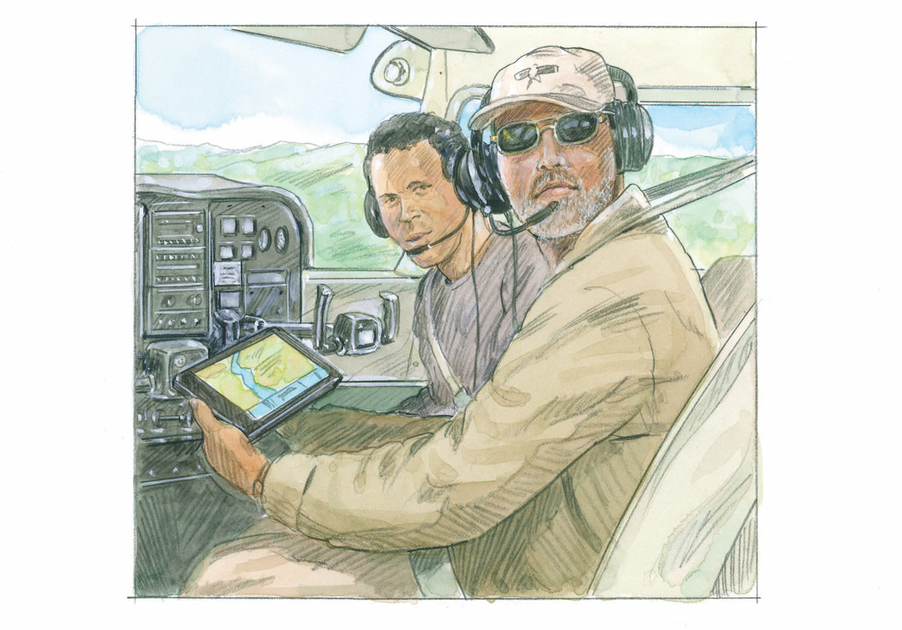
Founder of publishing company Seair Verlag, Udo Leinhäuser has authored several flying guidebooks as a way of sharing his passion for destination flying with other pilots. He spends two to three months every year in Florida and California, looking for new and interesting places to visit.
Subscribe to Our Newsletter
Get the latest Plane & Pilot Magazine stories delivered directly to your inbox


